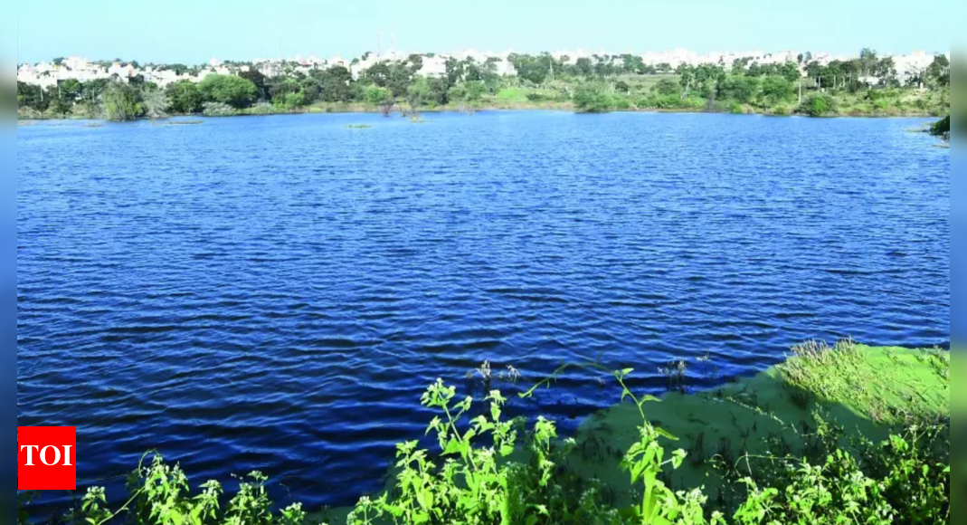
The Karnataka government has been actively working to protect and restore its water resources, with a major initiative involving the geotagging of waterbodies across the state. Launched in March 2024 by the Department of Minor Irrigation and Groundwater Development, in collaboration with the Department of Survey, Settlement and Land Records, the project aims to geotag all 41,875 waterbodies in Karnataka. As of April 2025, over 31,033 waterbodies have already been geotagged.
This comprehensive project utilizes technology to monitor water flow, detect encroachments, and support better water resource management. By digitally securing these lakes, the government can track real-time updates and ensure the long-term availability of water in both urban and rural areas.
The geotagging process involves surveying and mapping the waterbodies, with 34,651 lakes spanning 7.7 lakh acres already surveyed by April 2025. This has led to the identification of 42,678 acres of lake encroachment, of which 28,750 acres have been cleared and restored, with efforts ongoing to recover the remaining encroached areas.
Community participation has been crucial to the project's success. Gram panchayats and local residents are actively involved in identifying lake boundaries, resolving disputes, and validating field data. This collaborative approach has not only accelerated the process but also fostered a sense of ownership and responsibility among the local communities.
The use of geotagged data has also streamlined legal enforcement against encroachments. Authorities can now quickly detect and address encroachments, imposing fines on those responsible. This has made the process of protecting these vital water resources more efficient and effective.
The data collected through geotagging is being used to support drought resilience and groundwater recharge planning. The initiative aligns with the Karnataka State Action Plan on Climate Change (KSAPCC), the Bengaluru Climate Action & Resilience Plan (BCAP), and the World Bank's water resilience project. This integrated approach aims to strengthen flood-control measures, improve water storage, and secure long-term water availability across the state.
Hassan district has the highest number of geotagged waterbodies, while Ballari has the least. The government plans to update the geotagged data daily once the project is complete, ensuring continuous access to the latest information on each lake's status.
By leveraging technology and encouraging community involvement, Karnataka is taking significant steps to safeguard its water resources and ensure a sustainable water future for its residents.