The Indian Space Research Organisation (ISRO) is playing a crucial role in safeguarding Indian citizens through its extensive network of satellites. ISRO Chairman V. Narayanan stated that at least 10 satellites are working continuously, day and night, with the strategic purpose of ensuring the safety and security of the country's citizens. These satellites contribute significantly to various aspects of national security and disaster management.
Border and Coastal Surveillance
Monitoring India's extensive 7,500 km coastline and its borders is a critical task that is heavily reliant on satellite and drone technology. These systems act as early warning tools, detecting potential threats and helping the country prepare for hostile actions. Space-based monitoring provides India with a strategic advantage, especially with the constant threat of cross-border conflicts and the need for real-time intelligence. The continuous vigilance offered by these satellites helps the armed forces stay alert to any hostile activity across borders and at sea.
Disaster Management
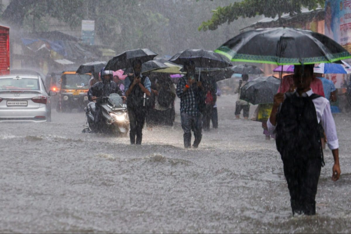
ISRO's satellites play a vital role in disaster management, providing crucial data for a wide range of applications, including agriculture, climate monitoring, and oceanography. V. Narayanan asserted that satellites are working effectively in disaster management, which has significantly reduced the loss of life during calamities compared to earlier times. EOS-08, for example, is equipped with advanced technology to bolster disaster management and environmental monitoring, carrying payloads such as the Electro Optical Infrared Payload (EOIR) and the Global Navigation Satellite System Reflectometry (GNSS-R). EOS-09 is designed for real-time applications like flood and cyclone tracking.
Communication and Navigation
The Indian National Satellite (INSAT) system, commissioned in 1983, is a series of multipurpose geostationary satellites launched by ISRO for telecommunications, broadcasting, meteorology, and search and rescue operations. INSAT is the largest domestic communication system in the Indo-Pacific Region and a joint venture of multiple departments within the Indian government. ISRO has also established a regional navigation satellite system called Navigation with Indian Constellation (NavIC) to meet the positioning, navigation, and timing requirements of the nation. NavIC provides services such as Standard Position Service (SPS) for civilian users and Restricted Service (RS) for strategic users.
Earth Observation
ISRO has launched many operational remote sensing satellites, starting with IRS-1A in 1988. Today, India has one of the largest constellations of remote sensing satellites in operation. Data from these satellites are used for applications covering agriculture, water resources, urban planning, rural development, mineral prospecting, environment, forestry, and ocean resources. ISRO is also partnering with the US on an advanced Earth-imaging satellite. The joint NASA-ISRO Synthetic Aperture Radar (NISAR) satellite will track changes to Earth's surface, ice sheets, glaciers, sea ice, and vegetation, measuring shifts with precision.
ISRO's continuous efforts in developing and launching satellites have significantly contributed to the safety and security of Indian citizens. These satellites provide essential services such as border and coastal surveillance, disaster management, communication, navigation, and earth observation. ISRO's advanced satellite technology not only strengthens national defense but also aids in various sectors, including agriculture, environmental monitoring, and urban planning.