The Israeli military has recently found itself in hot water after posting a map on social media that incorrectly depicted Jammu and Kashmir (J&K) as part of Pakistan. The map, shared by the Israel Defense Forces (IDF) during a presentation about Iran's missile capabilities, sparked immediate and widespread outrage among Indian netizens, who accused the IDF of disrespecting India's territorial integrity.
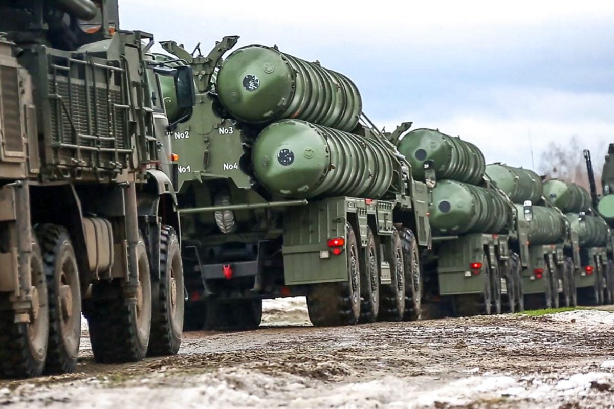
The controversial map was intended to illustrate the potential reach of Iranian missiles, showcasing countries across West Asia and South Asia. However, the inaccurate portrayal of J&K's borders overshadowed the intended message, triggering a wave of criticism and condemnation from Indian social media users. Many Indians, who generally view Israel as a close strategic partner, expressed their disappointment and demanded a swift correction.
The IDF quickly responded to the backlash by issuing a public apology and acknowledging the mistake. In a statement, the IDF stated that the map "fails to precisely depict borders" and apologized "for any offense caused by the image." The IDF also replaced the incorrect map with a revised version.
This incident is not the first time that a map-related controversy has arisen between India and Israel. In October 2024, a similar issue occurred when Israel's official government website displayed a map that also showed part of Jammu and Kashmir as belonging to Pakistan. That map was also promptly removed after concerns were raised. At the time, Israel's Ambassador to India, Reuven Azar, addressed the issue on social media, attributing the error to a "website editor's mistake."
Despite the apology and prompt correction, the incident has raised concerns among some Indians about the need for greater sensitivity and accuracy when representing India's borders, especially in official communications. Some social media users questioned whether Israel truly stands with India, while others emphasized the importance of maintaining accuracy in geopolitical visuals, especially amid ongoing regional conflicts and alliances. One user commented, "Now you understand why India remains neutral. In diplomacy, no one's really your friend." Another user demanded, "Map of India is wrong!" A third wrote, "Use the correct map of India."
The incident occurred against the backdrop of heightened tensions between Iran and Israel, following Israeli airstrikes on Iranian nuclear bases and retaliatory missile strikes from Iran. The timing of the map controversy added fuel to the fire, further exacerbating the situation and prompting calls for greater caution in representing geopolitical boundaries.