The Bharat Forecasting System (BFS) is India's newly launched, cutting-edge weather prediction model, poised to revolutionize the nation's ability to forecast weather events with unprecedented accuracy and granularity. Officially unveiled on May 26, 2025, by the Ministry of Earth Sciences, this indigenous system, developed by the Indian Institute of Tropical Meteorology (IITM), Pune, represents a significant leap forward in India's meteorological capabilities.
The BFS distinguishes itself through its exceptional spatial resolution, operating on a 6-kilometer grid. This means that the model can provide detailed insights into weather phenomena occurring within a 6 km x 6 km area, a marked improvement over previous models that offered predictions for a 12 km x 12 km grid. This enhanced resolution enables more accurate forecasting of small-scale weather patterns, making it particularly valuable for regions with complex topography or highly variable weather conditions. The finer resolution allows for separate forecasts for smaller areas, like individual villages, compared to previous systems that issued a single forecast for clusters of villages.
Powering the BFS is the "Arka" supercomputer, housed at IITM. This advanced computing infrastructure boasts a processing capacity of 11.77 petaflops and a storage capacity of 33 petabytes. Arka significantly reduces the time required to run the forecasting model, completing the data crunching in approximately four hours, compared to the older "Pratyush" supercomputer, which took up to 10 hours. This speed enhancement allows for more timely and efficient forecast generation.
The BFS integrates data from a network of 40 Doppler Weather Radars strategically located across India. With plans to expand the network to 100 radars, the system will provide comprehensive coverage for real-time updates and short-term forecasts, also known as "nowcasts," for the entire country. These nowcasts, which provide weather predictions for the next two hours, are crucial for managing rapidly evolving weather systems and issuing timely warnings to the public.
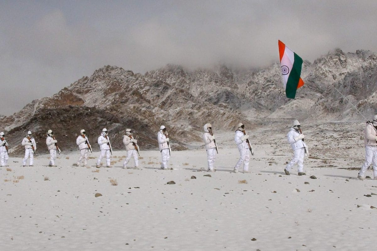
One of the key objectives of the BFS is to enhance disaster preparedness by improving early warnings for extreme weather events such as cyclones, floods, and heavy rainfall. Trials of the BFS have demonstrated a 30% improvement in forecasting extreme rainfall events and a 64% improvement in forecasts for core monsoon regions. The system also exhibits improved accuracy in predicting cyclone tracks and intensity.
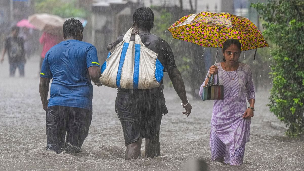
The benefits of the Bharat Forecasting System extend to various sectors, including agriculture, water resource management, and public safety. Accurate and localized weather forecasts can support farmers in crop planning, irrigation management, and protection against climate shocks. Improved rainfall predictions aid in reservoir management, flood control, and water distribution planning. Real-time and localized forecasts enhance preparedness and planning for civic bodies, disaster response teams, and urban administrators.
The development of the BFS aligns with the "Atmanirbhar Bharat" and "Make in India" initiatives, promoting self-reliance in meteorological sciences and positioning India as a global leader in weather prediction research. Unlike many global models, the BFS data will be accessible to researchers worldwide, fostering collaborative advancements in the field. The BFS can provide 6 km resolution forecasts for the tropical region between 30 degrees South and 30 degrees North latitudes, which includes the Indian mainland spanning from 8.4 degrees to 37.6 degrees North. This makes it valuable for other tropical regions facing significant climate variability.